


|
|
Haeju - home of Buddhist scholars
HOW TO GET THERE | HAEJU | FOLK STREET | MAP | SOKDAMGUGOK | MT.SUYANG | HOTEL HAEJU | AROUND HAEJU
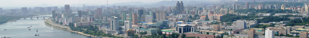
Haeju is the administrative centre of South Hwanghae Province, it is just 3 km north from 38th parallel. As of 2000, the population of the city is estimated to be 236,000. Haeju used to be a prominent trading port with China and also a scholar’s town of Buddhist learning. In AD983 it was made one of 12 civilian-run regional capitals under the Koryo King Seongjong.
In the early 20th century the city’s trading position was somewhat sidelined by the building of the Seoul-Sinuiju railway. At the beginning of the Korean War Haeju was the first city taken by South Korean forces (June 1950). Similarly to Kaesong, during the war Haeju was under control of South Korea for long time and thanks to this it has managed to escape complete destruction unlike many other DPRK's cities. Haeju has preserved some original historical sites which are the major attraction nowadays.


How to get there
Haeju is about 2.5 h drive south from Pyongyang. This is rarely visited city which still has something of the austere, isolated feel of socialist cities of the 1980s, an essence that's increasingly hard to find in the southern DPRK in recent years.
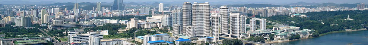
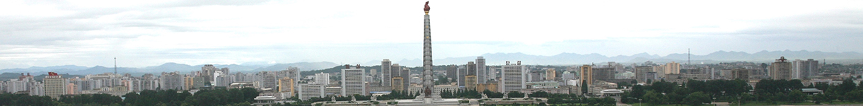
Haeju
The city is very rarely open to foreign visits, and the war and subsequent rebuld have left not many original remains of Haeju's illustrious past to be seen. In the square where stands the statues of Kim Il Sung and Kim Jong Il there is Revolutionary Museum. The distant backdrop to the statues is an impressive series of steep hills knows as Mount Suyang, with its 946 m peak about 7 km northwest of Haeju's centre.


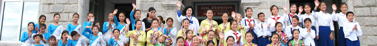
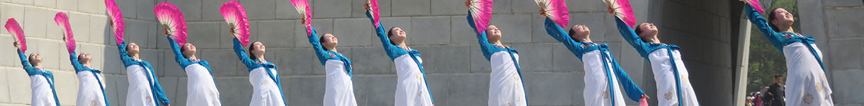
Haeju's Folk Street
The street gives an insight to Korea's old folk customs. It consists of amusement hall, folk restaurant, several pavilions, folk game grounds, etc.


Map and Main Attractions

|
Sokdamgugok
Sokdamgugok is the name of place along the Sokdom River and means "Pools on Rocks and Nine Valleys". There are 9 valleys extending about 8 km. Unbyong Valley (namely, "the finest among nine valleys") is considered the most beautiful one.


The Unbyong Valley houses the Sohyon Academy, which dated back from the 16th century. Here the famous scholar Li Ryul Gok taught, and the names of various peaks and valleys in the area are themed along with the celebration of all things peaceful, quiet and meditative, from the Munsan (best place for reading), Kwan Rock (horsehair hat), Chwilyong (a flower-patterned blind), and others.


Three gates, a hall, a temple extended from north to south, a house erected over a monument is on the left of the temple and Yogum Pavilion in front of three gates. There is Chonggye Hall 300 m southwest from here.


Mt.Suyang and other mountains
Mt.Suyang rises on the dividing spot between Haeju and Sinwon County with many peaks including the highest Sollyu Peak (946 m), Pakdal, Jangdae and Mae Peaks. This mountain is famous with various peaks, rock formations, clear waterfalls rolling down the valleys, and ancient fort Suyang.
Suyangsan Falls - It is high falls flowing down 128 m covering 12.5m wide during rainy season. The falls starts at Jol Valley of Mt. Jangdae standing on the southeast ridge of Mt.Suyang. It has been known as one of Haeju with its foliage in summer, maples in autumn and snowscape.
Mt. Jangsu - it's 54 km north from Haeju to the resthouse of Chaeryong town and and another 20 km to Sariwon. Jangsusan or Mount Jangsu is a stunning, dramatic peak topped by a hermitage. Mt.Jangsu is known as "Mt.Kumgang of Hwanghae". While Mt.Kumngang is the "prince" of peaks, Mt.Jangsu prides itself as the "queen" of valleys. It is 747 m high measuring 10 km from east to west and 8 km from north to south. There are mountain fort, Hyonam Temple and Myoum Temple are remained in it.


Fort on Mt.Suyang - one of the three forts of Hwanghae Province, it is a stone fort built in Koguryo dynasty linking high and low peaks. Rampart was built on rocks taking the advantages of geographical features. The rampart is 6-7 m high with 14 big and small bastions, general's terraces and varieties of house sites.
Hotel Haeju


Around Haeju
- Sinchon - a city housting Sinchon Massacre Museum which tells of an appalling atrocity committed by the US forces during the Korean War.
- Simwon-sa is a buddhist temple located in Yŏntan-gun. The temple contains one of the oldest wooden buildings in North Korea, as well as a famous peach tree and stupas from the late Koryo dynasty
- Kaesong - Kaesong is a small city at the border with South Korea (only 8 km from the DMZ with South Korea), it was a former capital of the Koryo Dynasty (918–1392 CE) for several hundred years and was the only major city that changed hands between North and South Korea as a result of the Korean War. Even though Kaesong is not far there is no direct road between Haeju and Kaesong, in order to transfer to Kaesong one should first return to Sariwon and continue to Kaesong.
- DMZ - is a strip of land running across the Korean Peninsula that serves as a buffer zone between North and South Korea. The DMZ is a de-facto border barrier, which runs along the 38th parallel north. The DMZ cuts the Korean Peninsula roughly in half, crossing the 38th parallel on an angle, with the west end of the DMZ lying south of the parallel and the east end lying north of it. It was created as part of the Korean Armistice Agreement between North Korea, the People's Republic of China, and the United Nations Command forces in 1953